Volcanoes don't just erupt and go back to sleep. Sometimes, they reshape the map overnight.
When new landmasses pop out of the ocean near a volatile peak like Anak Krakatoa, everyone panics about the next big disaster. You hear dramatic headlines about sudden geological births. But the reality of these ephemeral islands is far more fascinating, and frankly, a lot messier than disaster movies let on. For a more detailed analysis into this area, we suggest: this related article.
Let's look at what actually happens when the Sunda Strait decides to alter its geography.
The Restless History of the Sunda Strait
Anak Krakatoa isn't an ancient monument. It translates to "Child of Krakatoa," and that name is literal. It emerged in 1927 from the caldera left behind by the catastrophic 1883 eruption of the original Krakatoa—an event so loud it was heard thousands of miles away and cooled global temperatures. For broader context on this issue, comprehensive coverage can also be found on The New York Times.
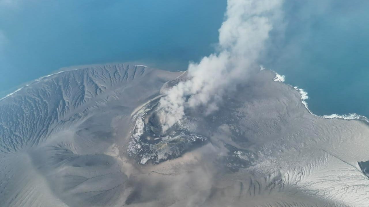
Since then, the child has grown fast. It spits ash, pours lava, and builds itself up, only to collapse in spectacular fashion.
When underwater eruptions push material to the surface, new patches of land break the waves. They look permanent on satellite imagery. People get excited. Cartographers get annoyed.
The truth is, these newborn islands are rarely built to last.
Why These New Landmasses Won't Stick Around
If you throw enough ash and rock into shallow water, it forms a mound. That is basic physics. But the ocean doesn't just let new real estate sit there.
Wave action is relentless. Without solid, cooled bedrock or dense vegetation anchoring the loose tephra and pumice, these fresh accumulations are basically giant piles of sand waiting to be washed away.
Think of building a sandcastle right at the water's line during an incoming tide. It looks great for ten minutes. Then the surf rolls in.
Most minor cones and islets formed by recent eruptions around Anak Krakatoa erode remarkably fast. Some vanish beneath the waves in a matter of months. Others get reabsorbed the next time the volcano undergoes a major flank collapse—similar to the massive collapse that triggered a deadly tsunami in 2018.
Reading the Geological Signs
Scientists don't celebrate when new islands form. They treat them like warning flares.
The same tectonic forces pushing molten rock to the surface to create temporary land are causing intense instability below the waterline. The crust in this region remains fractured and stressed. When magma finds a new vent or pushes upward with high pressure, it alters the structural integrity of the entire volcanic edifice.
Monitoring agencies like Indonesia's Pusat Vulkanologi dan Mitigasi Bencana Geologi keep a hyper-vigilant eye on these changes. They know that a growing or shifting vent means the plumbing system beneath the volcano is active.
You can't predict an eruption down to the hour, but you can track the deformation. When the ground swells and new islands emerge, the volcano is telling you it has indigestion.
Living With a Living Mountain
Communities along the coast of Java and Sumatra know the drill. They've lived in the shadow of this geological hotspot for generations.
Tourism boats used to ferry eager travelers right up to the shores of Anak Krakatoa. People wanted to see the raw power of the earth firsthand. But after the 2018 disaster, exclusion zones expanded significantly. Getting close to an active juvenile volcano isn't an adventure sport anymore; it's a massive gamble.
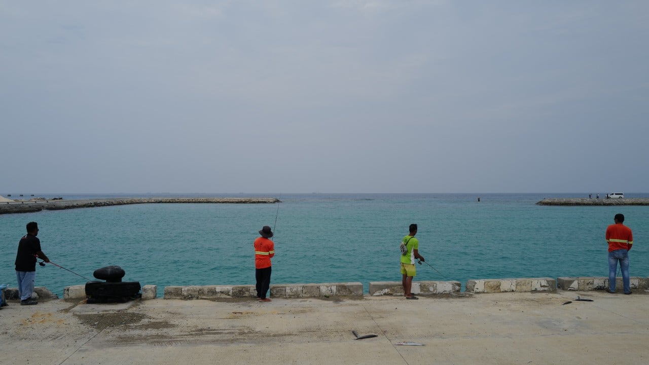
Local fishermen and coastal residents watch the horizon carefully. They don't care about the novelty of a new island. They care about warning sirens, evacuation routes, and whether the sea is behaving strangely.
What Comes Next for the Sunda Strait
The earth keeps moving, whether we watch it or not. Anak Krakatoa will keep erupting. More ash will fall. More temporary islands might form and wash away into the Indian Ocean over the coming years.
This region remains one of the most active tectonic laboratories on the planet. The creation of these transient patches of land reminds us how fragile our maps really are. Ground isn't always solid. Coastlines shift.
Keep an eye on the science, respect the exclusion zones, and remember that nature usually gets the final edit on geography.