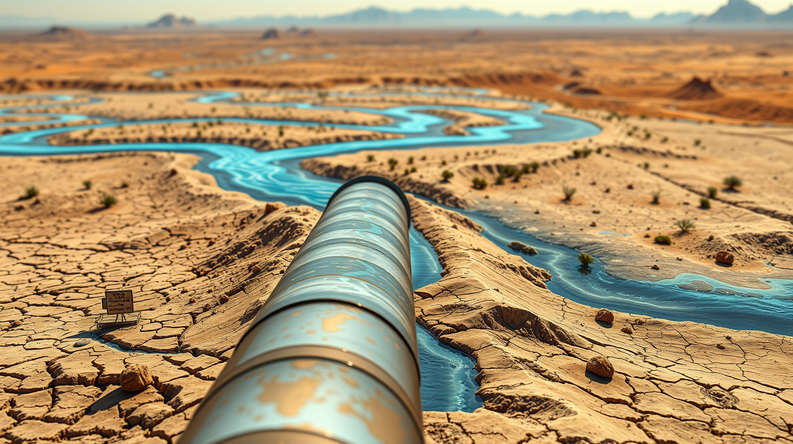
Continental water management represents the outer boundary of civil engineering ambition. In 1964, the Ralph M. Parsons Company published a technical blueprint that sought to re-plumb the North American continent. Known as the North American Water and Power Alliance, the proposal aimed to capture runoff from the Yukon, Liard, and Peace river systems in Alaska and northwestern Canada, routing seventy-five million acre-feet of water annually through the Rocky Mountain Trench down into the southwestern United States and northern Mexico.
While popular narratives frame the initiative as a casualty of shifting cultural attitudes or environmental idealism, an economic and mechanical audit reveals a different reality. The project failed because its thermodynamic cost function, sovereign risk profile, and hydraulic architecture created an unhedgeable systemic vulnerability. Evaluating the architecture of this historical megaproject exposes the immutable limits of macro-scale resource reallocation.
The Hydraulic Architecture and Mechanical Core
The operational design of the system relied on gravity-fed collection networks converging into a massive storage vessel inside the Rocky Mountain Trench. By damming the trench in British Columbia, engineers intended to create a five-hundred-mile-long reservoir that would act as the primary distribution header for the entire continent. From this collection point, the mechanics split into two operational vectors.
The eastern vector sought to stabilize the Great Lakes and provide navigable waterways across central Canada. The southern vector required water to cross the international boundary into northern Montana before encountering the primary engineering barrier: the continental divide. Moving millions of acre-feet of water over high-altitude mountain passes demanded massive kinetic energy inputs.
To overcome these elevation deltas, the designers specified the construction of heavy nuclear power installations. These plants were dedicated entirely to driving industrial-scale pumping stations, such as the proposed Sawtooth Lifts in Idaho. The system was not merely a network of gravity canals; it was a closed-loop thermodynamic consumer requiring baseline electricity generation equivalent to the output of multiple atomic reactors just to sustain fluid motion against gravity.
The Cost Function and Capital Allocation Failure
At the core of any megaproject lies its capital expenditure profile and return on investment horizon. Parsons estimated the initial capital requirement at one hundred billion dollars in mid-1970s currency, which scales to over one trillion dollars in present-day valuations. However, traditional infrastructure accounting fails when applied to systems with extreme complexity coefficients.
The cost function of continental water transfer is governed by three compounding variables:
- Capital Intensity Per Unit Volume: The immense volume of earthmoving, estimated at thirty-two billion cubic yards, coupled with thirty million tons of structural steel, front-loads financial exposure decades before the first cubic foot of water generates utility.
- Maintenance and Entropy Drag: Linear infrastructure spanning thousands of miles across seismic fault lines and freeze-thaw cycles incurs exponential maintenance costs. Unlike a highway, a fractured high-pressure aqueduct or breached high-altitude dam results in catastrophic regional failure.
- Energy Input Volatility: Tying the operational viability of a water delivery network to continuous, high-capacity electrical generation creates a brittle asset. If power generation falters, the entire hydraulic cascade fails.
The return on investment calculation relied on assumed agricultural yields in arid zones and speculative hydroelectric revenues. Yet, these models ignored the economic law of diminishing marginal returns. As water is forced into increasingly marginal desert soils, the secondary costs of soil salination, drainage management, and intensive chemical inputs erode net economic output.
Sovereign Risk and Jurisdictional Friction
Water is not merely a physical resource; it is an expression of national sovereignty. The engineering blueprints treated the North American continent as a blank canvas, ignoring international boundaries and indigenous territorial rights. The vast majority of the source water originated within Canadian borders, while the primary consumption centers lay south of the forty-ninth parallel.
This asymmetry introduces severe jurisdictional friction. For Canada, exporting baseline freshwater resources meant surrendering permanent ecological control over its northern watersheds to a foreign power. The diplomatic architecture required to manage such an agreement would necessitate a supranational authority with veto power over domestic provincial policies.
Historical precedents in continental resource sharing, such as the Columbia River Treaty, demonstrate that downstream benefits rarely distribute equitably without perpetual political conflict. By centralizing water control in an external agency, the proposal violated basic geopolitical risk management principles. National security frameworks dictate that no sovereign state will outsource its foundational liquid asset to an external entity, rendering the diplomatic model non-viable from its inception.
Thermodynamic Limits Versus Ecological Equilibrium
The environmental pushback against the initiative is frequently mischaracterized as mere sentimentality. From a systems engineering perspective, the ecological critique was a warning about system-wide feedback loops. Re-plumbing a continent implies interrupting natural hydrological cycles that regulate regional climates, sediment transport, and marine biology.
Damming the major northern arteries—including the Yukon, Liard, and Peace rivers—would have starved downstream deltas of essential nutrients and thermal energy. The collapse of Pacific salmon fisheries and the degradation of subarctic wetlands would have triggered cascading economic losses in commercial fishing and indigenous subsistence economies.
Furthermore, massive reservoirs alter local microclimates, increasing evaporation rates in regions where water conservation is paramount. When evaluating a system designed to mitigate drought, losing millions of acre-feet of water annually to surface evaporation in desert heat introduces a counter-productive feedback loop that degrades the net efficiency of the entire network.
The Persistence of the Grand Illusion
Despite its technical, financial, and political impossibility, the framework periodically re-emerges during acute regional droughts. This persistence is driven by a cognitive bias toward macro-engineering. When faced with systemic resource deficits, institutional actors naturally default to monumental supply-side solutions because visible construction projects offer immediate political legibility.
The recurring appeal of these legacy schematics distracts from localized demand management, efficiency restructuring, and localized hydrological optimization. True modern infrastructure strategy dictates that capital should target demand-side elasticity, agricultural restructuring in hyper-arid basins, and closed-loop municipal recycling systems rather than attempting to reverse the drainage patterns of an entire continent.
Deploy regional capital toward decentralized desalination, municipal leakage reduction, and high-efficiency drip irrigation infrastructure rather than pursuing capital-intensive, centralized supply-side transport megaprojects.