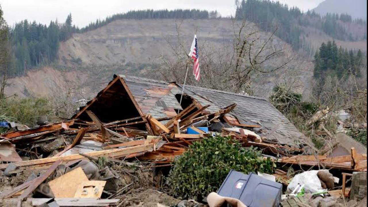
Every few years, a fresh dataset drops and the panic machinery cranks up another gear. Headlines scream about millions of Americans sitting directly in the path of sliding earth. The latest body count features a staggering figure: six and a half million people allegedly living in the shadow of slope failure, pulled straight from a sweeping national mapping project covering one hundred twenty-eight million structures.
It sounds terrifying. It is also deeply misleading.
I have spent years looking past the glossy summaries of geographic risk models and watching how raw data gets weaponized for clicks and municipal funding. When researchers map every square inch of elevation change across a massive continent, they do not measure actual vulnerability. They measure geometry. They count an empty shed on a thirty-degree incline the same way they count a family home built on compromised clay.
Let us dismantle the lazy consensus.
The Flaw in the Footprint
The core failure of modern geographic risk assessment is simple: models confuse exposure with vulnerability.
If you take a satellite scan, match it against slope angles, and cross-reference it with building footprints, you get a big number. The recent mapping effort achieved unprecedented scale by automating this exact pipeline. But automation lacks context. A building footprint sitting inside a designated hazard zone does not mean that building is sliding down a mountain tomorrow.
Consider what actually triggers a catastrophic slope failure. Gravity is a constant, but water is the trigger. Soil saturation, seismic activity, and aggressive human grading dictate whether a hill holds or drops. A concrete foundation anchored into bedrock on a mild slope behaves entirely differently from unengineered fill dirt clinging to a steep canyon wall.
Yet, the macro maps treat them as identical data points. They paint entire counties with a broad brush, scaring homeowners and driving up insurance premiums based on theoretical exposure rather than mechanical reality.
Follow the Incentives
Why do these alarmist studies keep dropping? Because fear sells headlines, and catastrophic projections secure research grants and disaster mitigation budgets.
Municipalities love bloated risk numbers. When federal agencies release massive exposure studies, local governments use those inflated statistics to lobby for infrastructure grants. Insurance companies use the same data to justify sweeping rate hikes across entire zip codes, punishing homeowners who installed retaining walls and engineered drainage systems just because their neighbor lives on a slope.
The irony is thick. By treating every structure on an incline as an imminent casualty, we dilute real resources. True geotechnical hazard mitigation requires hyper-local engineering, soil core samples, and active monitoring of groundwater tables. Sweeping national maps do none of this. They provide a high-level overview that masquerades as precision, creating a false sense of urgency while missing the actual engineering failures happening on specific plots of land.
The Real Risk Matrix
If you want to know if your property is actually at risk, throw away the national raster files. They are useless to you.
Real property evaluation requires looking at three unglamorous factors:
- Subsurface Geology: What is beneath the topsoil? Sandstone holds up differently than shale or loose colluvium.
- Drainage History: Where does water go during a three-day downpour? Surface runoff management is ninety percent of slope stability.
- Modification Records: Has anyone cut into the toe of the slope below you or added uncompacted fill dirt above you? Human interference causes more sudden failures than natural weathering.
Insurance adjusters and real estate speculators love to hide behind macro-level models because it saves them the cost of doing proper site-specific assessments. Accepting their numbers means accepting a blanket tax on living near elevated terrain.
Stop Fighting Gravity
Trying to completely eliminate geological risk through macro-regulation is a fool's errand. Slopes erode. Earth moves. It has happened for millions of years before humans started pouring concrete foundations, and it will happen long after.
The solution is not hyperventilating over a map that counts millions of phantom victims in empty valleys and rolling hills. The solution is rigorous, parcel-by-parcel engineering standards and refusing to subsidize bad building practices in genuinely active shear zones.
Next time a headline warns you that millions of your countrymen are sitting on a ticking geological time bomb, look closer at what they are actually counting. Usually, they are just counting dirt.