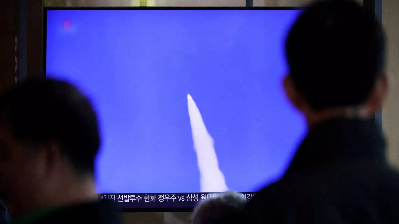
Sirens blare across Hokkaido at 6:00 AM. Your phone buzzes with an urgent J-Alert notification telling you to seek shelter immediately. Within twenty minutes, the Japanese Ministry of Defense issues a brief statement confirming a "suspected ballistic missile launched from North Korea" has splashed down in the Sea of Japan.
Then the news cycle moves on.
Honestly, that surface-level coverage leaves out almost everything that actually matters. When Tokyo announces a suspected ballistic missile launch from North Korea, it isn't just reading off a single radar screen and guessing. A massive, multi-layered intelligence network spanning satellites, Aegis destroyers, and ground-based radar stations just executed a high-stakes tracking operation in a matter of seconds. And the exact phrasing Japan uses—calling it "suspected" rather than confirmed—tells a very specific story about intelligence verification, trajectory physics, and regional politics.
Why Tokyo Says "Suspected" Instead of Confirmed
If you follow East Asian security news, you've noticed the pattern. Japan's Ministry of Defense almost always leads with the phrase "suspected ballistic missile" in its initial flash alerts. People often assume this means Japanese defense officials aren't sure what they're looking at.
That's completely wrong.
Initial launch detection relies primarily on infrared sensors aboard U.S. Space Force Space-Based Infrared System (SBIRS) satellites. These satellites spot the intense heat plume of a rocket motor the second it ignites on the Korean Peninsula. Because a space rocket, a short-range artillery rocket, and an intercontinental ballistic missile all produce massive thermal signatures at liftoff, early warning systems classify the event conservatively until radar tracks the flight path.
Once the projectile climbs above the horizon, Japan's own radar network takes over. The Japan Air Self-Defense Force operates J/FPS-5 and J/FPS-7 phased-array radar sites along the coast, working alongside Japan Maritime Self-Defense Force Aegis destroyers equipped with AN/SPY-1D radar. These systems calculate apogee—the highest altitude the missile reaches—and projected splashdown coordinates. Even when radar operators know within ninety seconds that they're tracking a Hwasong-series ballistic missile, official protocol restricts Tokyo from dropping the "suspected" label until cross-verification with Washington and Seoul finishes.
The Mechanics of J-Alert and Why False Alarms Happen
Living through a J-Alert warning is jarring. The system broadcasts directly through cell towers, municipal loudspeakers, and television networks, overriding silent modes on smartphones.
Here's the catch. Ballistic missiles launched on standard trajectories travel at hypersonic speeds, crossing the Sea of Japan in roughly ten to fifteen minutes. That gives civil defense authorities less than five minutes to decide whether a missile will overfly Japanese territory or fall short into international waters.
In April 2023, a North Korean solid-fuel Hwasong-18 launch triggered an evacuation order for Hokkaido residents because early trajectory calculations suggested the missile might land near the island. Minutes later, the alert was retracted after the rocket's upper stage behaved differently than initial models predicted, splashing down outside Japan's Exclusive Economic Zone (EEZ). Critics slammed the government for causing panic. Defense planners defended the call without hesitation. When you're dealing with a trajectory that could put warheads over Sapporo in seven minutes, waiting for 100% mathematical certainty isn't an option. You warn people first and refine the math second.
Lofted Trajectories Change the Entire Game
Most standard news reports mention two numbers after a North Korean test: maximum altitude and distance flown. If you don't understand orbital mechanics, those numbers look weirdly disproportionate. You'll read that a missile flew 1,000 kilometers east but reached an altitude of 6,000 kilometers.
North Korea uses what military analysts call a lofted trajectory. Instead of firing a missile at a standard 30-to-45-degree angle for maximum horizontal range, engineers fire it almost straight up.
Why do they bother? Two reasons.
First, firing straight up keeps the missile inside the Sea of Japan, avoiding a direct overflight of the Japanese mainland that could provoke a military response or give U.S. and Japanese Aegis ships an excuse to attempt an interception. Second, a lofted flight lets Pyongyang test warhead reentry vehicles under extreme atmospheric friction and heat without flying missiles thousands of miles into the Pacific Ocean. If you flatten that 6,000-kilometer altitude into a standard trajectory, that exact same missile easily reaches anywhere in the continental United States. When Tokyo reports a steep apogee, defense analysts immediately translate that vertical height into horizontal reach.
Inside the Trilateral Data Sharing Pipeline
For years, a major blind spot hampered regional missile defense. South Korean radars see the launch phase best because of geographic proximity, while Japanese radars track the mid-course and terminal phases more clearly due to the Earth's curvature. Yet political friction between Seoul and Tokyo frequently delayed real-time data sharing.
That changed permanently following the Camp David summit agreements and the activation of a real-time missile warning data-sharing mechanism between the United States, Japan, and South Korea in late 2023. Today, when a suspected ballistic missile leaves a launch pad in North Korea, tracking telemetry flows automatically through U.S. Indo-Pacific Command servers to both Tokyo and Seoul simultaneously.
You can see the impact in how fast public statements drop now. Five years ago, conflicting estimates of range and altitude between South Korea's Joint Chiefs of Staff and Japan's Ministry of Defense were common. Now, their numbers match within kilometers almost every single time.
What Happens Inside Japan's Exclusive Economic Zone
Geography dictates why Japan reacts so forcefully to launches that never touch land. Japan's Exclusive Economic Zone extends 200 nautical miles from its coastline, covering a huge portion of the Sea of Japan.
Dozens of Japanese commercial fishing vessels operate in those waters every day, particularly around the Yamatotai fishing grounds. Commercial airliners fly busy corridors connecting Tokyo, Seoul, and European hubs right above the same airspace. North Korea routinely violates international maritime norms by firing ballistic missiles without issuing advance navigation warnings to the International Maritime Organization or the International Civil Aviation Organization.
When a booster stage or warhead slams into Japan's EEZ unannounced, it's a direct hazard to civilian life. Following every splashdown, the Japan Coast Guard immediately dispatches patrol vessels and reconnaissance aircraft to search for debris and verify that no fishing boats were struck. On several occasions, Japanese vessels have recovered physical debris from the seabed, giving intelligence agencies rare hands-on access to North Korean metallurgy, welding quality, and fuel tank construction.
Solid Fuel vs. Liquid Fuel Matters More Than Range
If you want to know whether a specific North Korean launch actually shifts the military balance in East Asia, ignore the flashy headlines about range and look at the propellant.
Older North Korean missiles—like the Scud derivatives, Nodong, and early Hwasong-14 and Hwasong-15 models—ran on liquid fuel. Liquid-fueled rockets are a logistical headache in wartime. Crews have to haul massive tanker trucks out to a launch site and spend hours pumping volatile, corrosive propellants into the missile right before firing. Commercial satellites from companies like Planet Labs and Maxar Technologies spot that buildup easily, giving U.S. and Japanese forces plenty of warning.
Solid-fuel missiles—such as the KN-23, KN-24, and the intercontinental Hwasong-18—sit in canisters pre-fueled at the factory. A transporter-erector-launcher (TEL) truck can roll out of a mountain tunnel, raise the canister, and fire within ten minutes. That shrinks the detection-to-impact window dramatically. When Japan reports a launch that appeared with zero prior satellite warning of launch-pad activity, intelligence analysts know immediately they're looking at solid-fuel technology.
How to Read Future Launch Reports Like an Analyst
The next time breaking news alerts pop up about a suspected ballistic missile launched from North Korea toward Japan, skip the generic summary paragraphs and look straight at four specific details in the official Ministry of Defense readout:
- Launch location: Launches from the Sunan area near Pyongyang usually indicate large strategic systems or space-launch vehicles, while launches from coastal sites like Wonsan or Sinpo often involve tactical short-range missiles or submarine-launched platforms.
- Flight time and apogee: Divide the flight time by the distance. A short flight time paired with an extreme altitude (over 5,000 km) signals an ICBM test on a lofted path. A low altitude (under 100 km) with erratic flight behavior points toward a maneuverable reentry vehicle designed to evade Patriot and Aegis interceptors.
- Splashdown coordinates: Check whether the missile landed inside or outside Japan's EEZ. Landings inside the EEZ trigger formal diplomatic protests through embassy channels in Beijing and heighten naval patrol readiness in the Sea of Japan.
- Number of projectiles: Multiple launches spaced seconds apart test saturation tactics—deliberately firing enough simultaneous warheads to overwhelm a single Aegis destroyer's interceptor capacity.
Understanding those four variables turns a repetitive headline into a clear readout of what's actually happening in the skies over East Asia. Keep an eye on the official press releases from Japan's Ministry of Defense and the U.S. Indo-Pacific Command rather than early social media speculation, as initial flight metrics routinely get revised within two hours of splashdown once radar telemetry is fully processed.