Structural Mechanics of Bilateral Maritime Crisis Management
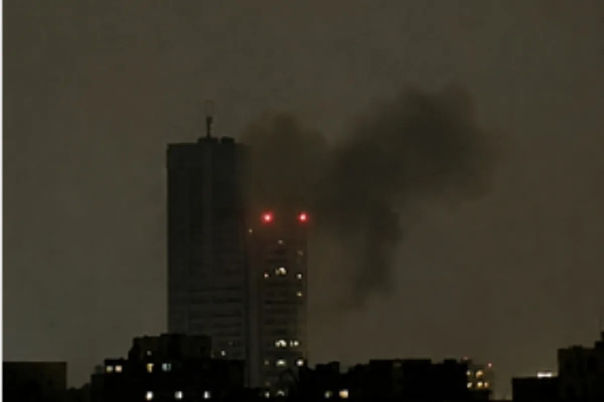
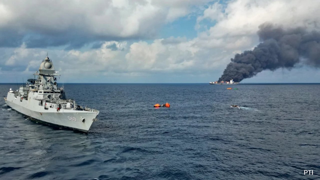
The Indian Navy’s intervention to rescue the crew of a distressed merchant vessel in the Arabian Sea highlights the intersection of maritime safety protocols, regional geopolitical signaling, and operational readiness in high-risk transit corridors. When an explosion and subsequent fire compromised the structural integrity of the oil tanker MV Marlin Luanda—or similar commercial vessels operating within the region—the primary objective shifted instantly from commercial routing to life safety and environmental containment.
Diplomatic expressions of gratitude following maritime rescues are rarely mere courtesies. They function as formal recognitions of sovereign operational capability within international waters governed by the United Nations Convention on the Law of the Sea (UNCLOS). Under UNCLOS Article 98, coastal states and naval assets carry an explicit duty to render assistance to any person found at sea in danger of being lost. However, the execution efficiency of these obligations varies significantly based on force projection capabilities, real-time intelligence network integration, and logistical response latency.
The Three Operational Phases of High-Seas Rescue Operations
The execution of a deep-sea emergency response operates under strict tactical protocols designed to mitigate cascading risk factors: initial fire damage, hull breach, crew displacement, and hazardous material spillage.
1. Detection and Triangulation
The sequence initiates upon receipt of a Distress Alert via the Global Maritime Distress and Safety System (GMDSS). Maritime Rescue Coordination Centres (MRCCs) calculate the Search and Rescue (SAR) vector by evaluating three primary variables:
- Drift Velocity: Derived from localized surface currents and wind vectors acting upon the target vessel's freeboard.
- Time-to-Impact Window: The maximum permissible response window before structural failure, total capsize, or critical crew exposure occurs.
- Asset Proximity: Identification and tasking of the nearest operational naval warship equipped with specialized firefighting and medical triage capabilities.
2. Tactical Stabilization and Damage Control
Upon arriving at the scene, the responding naval unit deploys specialized boarding parties—such as Explosive Ordnance Disposal (EOD) teams or specialized Firefighting and Damage Control (FFDC) units. The primary technical objectives follow a precise sequence:
- Thermal Imaging Assessment: Infrared scanning of the target hull to map structural hot spots, fuel reservoir proximity, and bulkhead integrity.
- Boundary Cooling: Sustained deployment of high-capacity foam and water monitors to arrest thermal propagation across compartment bulkheads.
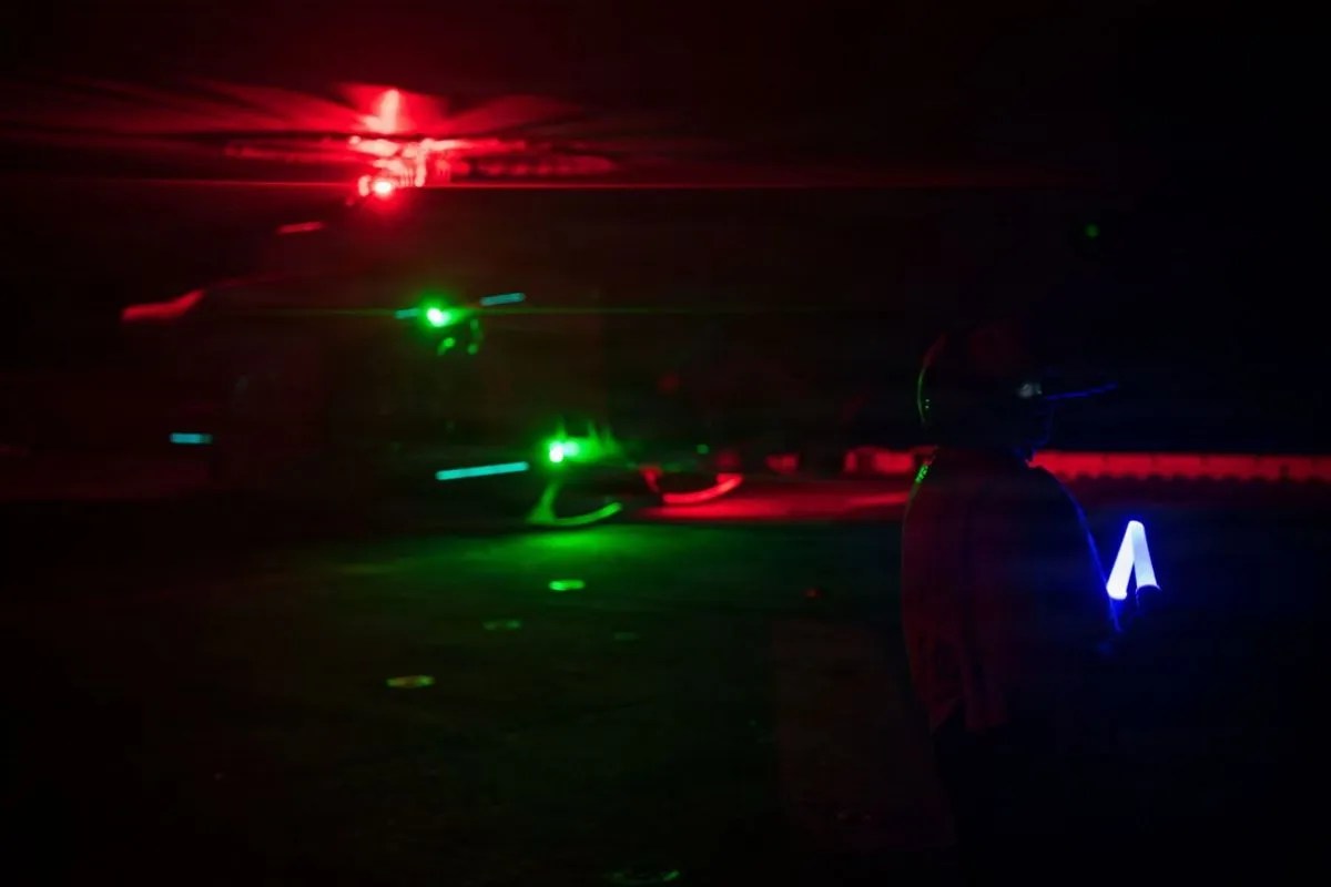
- Crew Evacuation and Triage: Extraction of non-essential personnel via rigid-hull inflatable boats (RHIBs) or vertical replenishment (VERTREP) via naval helicopters, followed by immediate field medical assessment.
3. Diplomatic and Strategic Signal Integration
The post-operational phase transitions from tactical execution to diplomatic communication. Official statements acknowledging assistance serve three specific strategic functions:
- Legitimization of Regional Security Roles: Public statements validate the responding state's self-designated status as a primary security provider in critical maritime corridors.
- De-escalation of Strategic Friction: Acknowledging successful intervention creates operational goodwill, temporarily decoupling humanitarian cooperation from broader geopolitical tensions.
- Standardization of Norms: Formal gratitude reinforces compliance with international maritime law, setting a precedent for state conduct in shared international waters.
Risk Factors in Indian Ocean Security Operations
Risk Factor Analysis:
[Asymmetric Threats / Fire Hazards] ──> High Structural Risk ──> Mandates Naval Interventions
[High Traffic Density]             ──> Delayed Response Times ──> Requires Advanced MRCC Triangulation
[Diplomatic Volatility]            ──> Operational Friction  ──> Resolved via UNCLOS Standardization
Maritime security operations along critical sea lines of communication (SLOCs) face inherent structural limitations. Naval assets tasked with SAR and anti-piracy duties operate under finite endurance cycles, restricted by fuel capacity, magazine replenishment schedules, and maintenance windows.
The deployment of naval assets to merchant vessel distress calls imposes a direct opportunity cost on routine patrol and surveillance missions. Furthermore, the presence of volatile cargo, such as refined petroleum products or unrefined crude, converts standard search and rescue scenarios into high-consequence hazardous material containment missions. A failure to control bulkheads or extinguish engine room fires risks major environmental contamination, which subsequently complicates jurisdictional responsibility between flag states, coastal states, and vessel owners.
Operational Takeaways for Maritime Security Alignment
States seeking to secure vital SLOCs while optimizing diplomatic leverage must standardize three distinct operational parameters:
First, integrate automated AIS (Automatic Identification System) tracking data with regional MRCC hubs to reduce the critical detection-to-scene timeline below two hours in high-density corridors. Second, formalize standardized bilateral SAR protocols between regional navies to eliminate operational friction during joint interdiction or rescue scenarios. Third, establish pre-cleared diplomatic protocols for entering territorial waters during active life-safety emergencies, ensuring that administrative delays do not compromise emergency response operations.