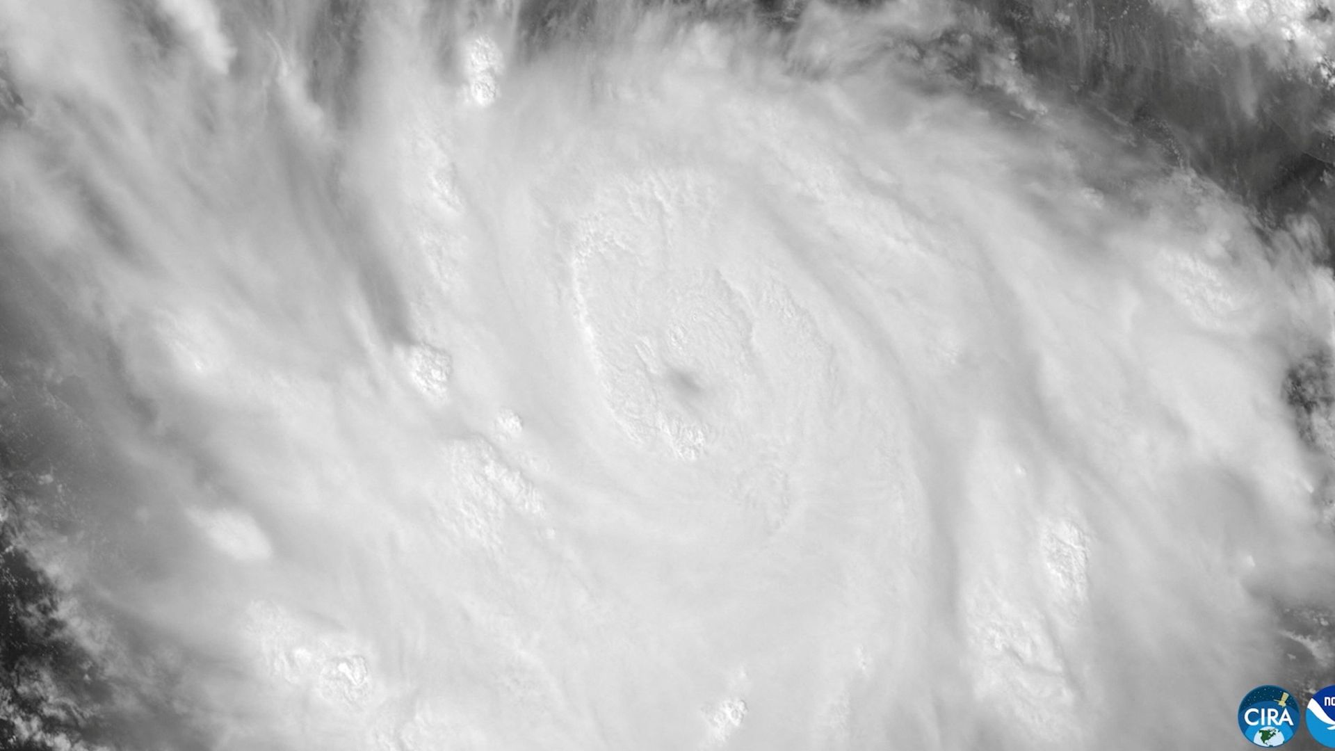
When Hurricane Polo rapidly exploded into one of the most ferocious Pacific cyclones in modern records, meteorologists stared at satellite imagery in absolute disbelief. Winds skyrocketed from a modest 45 mph to a staggering 150 mph in a single twenty-four-hour window. That kind of vertical jump defies normal meteorological expectations. By the time the storm zeroed in on Mexico's Pacific coastline and the Baja California peninsula, it wasn't just another seasonal blow. It was an exceptionally dangerous machine packing life-threatening flash floods, destructive storm surges, and monstrous wave action.
Most casual weather watchers focus exclusively on wind speeds when a hurricane forms. That is a massive mistake. Water is what actually kills you. When Polo churned offshore, generating violent surf and battering coastal communities like Puerto San Carlos and Playa Azul, the real danger was always the staggering volume of water heading toward land. Mountainous terrain along the Mexican coast turns heavy downpours into raging walls of mud and water within minutes.
Why Rapid Intensification Catches Communities Off Guard
Storms like Polo expose the brutal limits of emergency response timelines. When a weather system undergoes hyper-intensification over warm Pacific waters, local civil protection agencies have a terrifyingly narrow window to act. Evacuations ordered hours before landfall can mean the difference between survival and getting trapped by washed-out roads and overflowing earthen barriers.
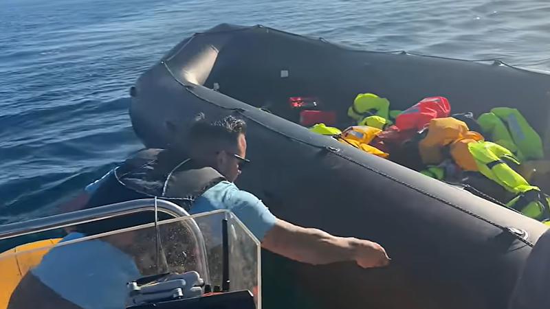
Fishermen and coastal residents know the rhythm of the sea, but storms of this magnitude rewrite the rules entirely. High tides combined with abnormal storm surges mean protective levies fail under pressure. When local authorities in Baja California urged families in high-risk zones to pack emergency kits and head for inland shelters, it wasn't an overreaction. It was a desperate race against an incoming deluge.
Dealing With the Aftermath and Staying Safe
If you are tracking tropical threats in the region or planning travel along Mexico's western corridors during peak hurricane windows, you cannot afford to wait for mandatory orders to think about safety.
- Monitor official feeds from the U.S. National Hurricane Center and Mexico's National Meteorological Service directly instead of relying on delayed social media summaries.
- Keep emergency water, non-perishable food, and essential medications packed and ready if you live anywhere near vulnerable coastal typography.
- Clear domestic drains and trim loose vegetation weeks before storm season peaks to minimize localized property damage.
- Never attempt to drive through flooded roadways or walk near churning ocean shores during active high surf advisories.
Polo serves as a brutal reminder that modern weather patterns are shifting toward extreme volatility. Respect the water, heed evacuation notices immediately, and stop underestimating what a Category 2 or higher landfall can achieve in a matter of hours.