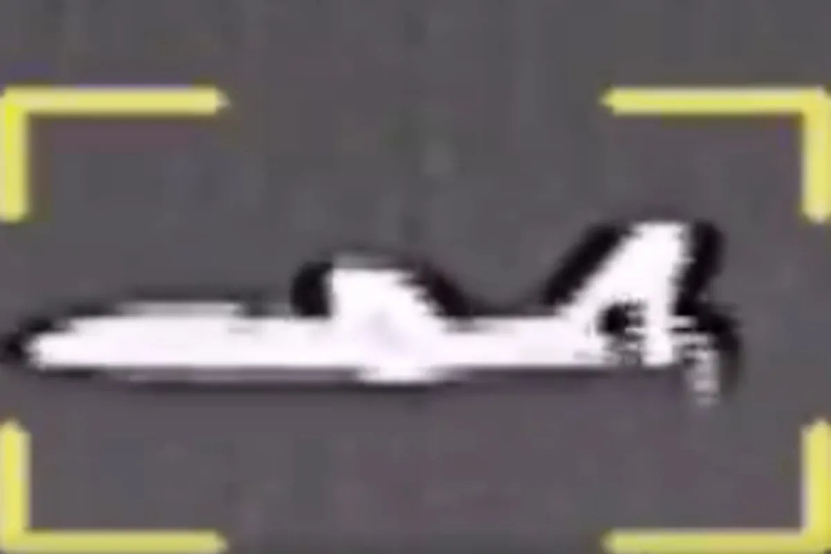
The reported capture of a U.S. MQM-170 Outlaw unmanned aerial vehicle by the Islamic Revolutionary Guard Corps (IRGC) Navy near Qeshm Island represents a calculated exercise in low-cost spectrum denial rather than an isolated tactical fluke. While conventional reporting frames these incidents as simple binary victories—either a successful interception or an unverified state claim—operational analysis reveals a systemic attrition strategy targeting the Intelligence, Surveillance, and Reconnaissance (ISR) architecture of the Persian Gulf. By forcing high-frequency, low-observable, or expendable target drones to land intact via electronic warfare (EW), Tehran is executing an asymmetric cost-imposition model designed to map adversarial electronic order of battle (EOB) data while preserving kinetic air defense inventories.
The Operational Reality Behind the MQM-170 Interdiction
To evaluate the strategic weight of the November 2026 Qeshm Island incident, one must separate state information operations from verifiable hardware mechanics. The IRGC Navy stated that its electronic warfare and drone command seized control of the aircraft’s guidance system, bringing it down without structural damage. The platform identified, the MQM-170 Outlaw, is not an exquisite strategic reconnaissance asset like the RQ-4 Global Hawk; it is a subscale, unmanned target drone manufactured by Griffon Aerospace, frequently adapted for surrogate training, electronic warfare testing, and decoy operations.
Understanding the distinction between a dedicated intelligence collector and a surrogate target platform alters the analytical baseline:
- Platform Capabilities and Limitations: The MQM-170 has a wingspan of roughly 12.7 feet, a maximum speed near 110 knots, and an endurance measured in single-digit hours. In operational theater deployments, these airframes are routinely configured with radar reflectors, electronic emitters, or basic electro-optical payloads to simulate enemy aircraft or stimulate coastal radar networks.
- The Stimulation-and-Mapping Doctrine: Deploying an MQM-170 south of Qeshm Island—Iran’s largest island, situated directly along the northern maritime choke point of the Strait of Hormuz—serves a specific doctrinal function. U.S. and allied forces utilize lower-tier unmanned systems to provoke coastal air defense radars and EW emitters into active transmission, thereby allowing standoff collection platforms to geolocate and characterize those signals.
- The Counter-Interdiction Trap: When Iranian EW units successfully spoof or hijack the command-and-control (C2) link of a stimulation drone, the tactical dynamic inverts. Instead of the U.S. military harvesting Iranian radar signatures, the IRGC acquires intact avionics, flight logs, launch-point telemetry, and cryptographic or frequency-hopping parameters.
The Three Pillars of IRGC Spectrum Denial
The recurrence of intact drone recoveries—spanning aerial platforms like the MQM-170 and unmanned underwater vehicles (UUVs) such as the REMUS 600 and Dive-LD earlier in the autumn—demonstrates a structured, multi-domain electronic warfare doctrine. This architecture rests on three interdependent operational pillars.
1. Non-Kinetic Guidance Hijacking
Kinetic interception using surface-to-air missiles (SAMs) against low-cost unmanned platforms creates an unsustainable financial and inventory drain. A single interceptor missile often costs between $500,000 and $2 million, whereas an MQM-170 airframe represents a fraction of that expenditure. Electronic warfare bypasses this cost asymmetry. By deploying high-power directional jammers to sever the primary satellite or line-of-sight C2 link, Iranian operators force the unmanned system into a pre-programmed "lost-link" autonomous mode. Once the airframe defaults to GPS/GNSS waypoint navigation, coastal spoofing transmitters broadcast counterfeit satellite navigation signals with higher signal-to-noise ratios than authentic orbital transmissions, gradually dragging the aircraft's perceived position and inducing a controlled descent onto designated recovery zones.
2. Exploitation of Unclassified and Commercial-Grade Subsystems
Surrogate drones and commercial-off-the-shelf (COTS) UUVs rarely carry the hardened, anti-jam Selective Availability Anti-Spoofing Module (SAASM) or M-Code GPS receivers installed on frontline strike aircraft. This creates an acute vulnerability in contested electromagnetic environments. During the September 2026 UUV disputes in the Strait of Hormuz, Washington noted that seized or recovered underwater vehicles were older, commercial-configured models experiencing mechanical or navigational anomalies. Whether an asset is brought down via active spoofing or recovered after a subsystem failure, the reliance on unhardened telemetry and commercial-grade inertial navigation units lowers the technical threshold required for coastal forces to intercept, track, and retrieve the hardware.
3. Forensic Telemetry and Origin Attribution
The physical recovery of an intact airframe yields intelligence that kinetic destruction obliterates. Following a similar MQM-170 capture west of the Strait of Hormuz in late October 2026, IRGC specialists explicitly highlighted their extraction of flight-origin data, asserting the drone launched from the southern littoral of the Persian Gulf. Forensic inspection of non-volatile memory chips, autopilot firmware, and actuator wear patterns allows defenders to reconstruct exact mission profiles, identify regional staging bases, and map the frequency bands used by coalition forces for tactical data links.
The Cost Function of Maritime Attrition
Analyzing the Strait of Hormuz standoff requires evaluating the economic and operational cost function governing both sides. Following the escalation of direct hostilities in early 2026 and the resulting disruption to maritime transit through the Strait, the region has functioned as a live-fire laboratory for unmanned warfare.
For U.S. Central Command (CENTCOM), maintaining persistent situational awareness across a 21-nautical-mile-wide choke point requires continuous sensor coverage. However, deploying high-value manned aircraft or exquisite stealth UAVs into dense Integrated Air Defense System (IADS) engagement zones introduces unacceptable political and material risk. The rational alternative is massing attritable, lower-cost unmanned systems—such as MQ-1s, MQM-170s, and autonomous underwater mine-countermeasure vehicles—to saturate the battlespace.
This attritable mass strategy encounters a structural bottleneck when confronting a geographically entrenched defender. Iran operates from interior lines along a rugged, heavily fortified coastline stretching from Bandar Abbas to Qeshm Island. Coastal EW brigades do not need to project power globally; they only need to project concentrated electromagnetic energy across a narrow, predictable maritime corridor. Because power density decreases with the square of the distance from the transmitter (the inverse-square law), Iranian ground-based jammers enjoy a massive physics advantage over airborne or seaborne receivers operating miles offshore. Ground installations have access to continuous grid power, large phased-array antennas, and deep subterranean bunkers, enabling them to overwhelm the compact, battery- or alternator-limited transceivers aboard small unmanned platforms.
Separating Verifiable Mechanics from Information Warfare
A rigorous intelligence assessment must account for deliberate exaggeration in wartime communications. In its November 2026 communique, the IRGC Navy claimed that the Qeshm Island capture marked the fourth MQM-170 seized by its electronic warfare units and the eighth drone brought down intact across the Strait of Hormuz sector, alongside broader claims of downing multiple MQ-9, MQ-1, and Lucas attack drones.
Distinguishing established facts from strategic messaging requires applying three verification filters:
- Physical Visual Confirmation vs. Numerical Claims: While state media frequently release footage of recovered airframes or submersibles to validate specific events, cumulative tallies (such as claiming fourteen MQ-1 interceptions over a compressed timeframe) routinely inflate numbers by counting decoy targets, crashed commercial quadcopters, or previously captured airframes displayed from altered angles.
- Active Hijacking vs. Passive Recovery: Electronic warfare units frequently claim active cyber-electronic takeover when an unmanned vehicle actually suffered a propulsion failure, battery depletion, or autonomous ditching due to adverse sea states or wind shear. Without access to the internal flight data recorder, external observers cannot definitively confirm whether a landing was induced by hostile spoofing or a benign fail-safe protocol.
- Strategic Deterrence Signaling: Publicizing intact captures serves an immediate diplomatic and psychological purpose. By demonstrating the ability to neutralize Western unmanned systems without firing a missile, Tehran signals to regional Gulf states—many of whom host coalition staging bases—that their airspace and littoral waters are transparently monitored and that hosting reconnaissance operations carries direct escalatory risk.
Operational Vulnerabilities and Tactical Countermeasures
The persistence of electronic interdiction in the Strait of Hormuz exposes critical vulnerabilities in current unmanned systems doctrine. Relying on unencrypted or weakly protected C2 links and standard GNSS navigation in a high-threat electromagnetic environment guarantees high attrition rates. However, electronic warfare is a dynamic measure-countermeasure cycle; no jamming or spoofing technique functions as a permanent silver bullet.
To mitigate spectrum denial and prevent intact hardware exploitation, military planners and systems engineers must implement specific architectural shifts:
- Transition to Visual-Inertial Odometry (VIO): Unmanned platforms operating near contested coastlines must decouple their navigation from external radio-frequency signals. Integrating downward-facing optical sensors with high-grade tactical inertial measurement units (IMUs) allows an aircraft to navigate via terrain contour matching and visual landmark tracking, rendering GPS spoofing completely ineffective.
- Cryptographic Link Hardening and Burst Transmission: Replacing continuous, predictable C2 telemetry streams with low-probability-of-intercept (LPI) directional waveforms and rapid frequency-hopping spread spectrum (FHSS) protocols prevents coastal EW units from locking onto and mimicking control signals.
- Zeroization Protocols on Lost-Link Events: When an attritable drone experiences an unrecoverable navigation anomaly or unauthorized landing outside designated coalition coordinates, onboard firmware must trigger automated cryptographic zeroization—wiping flash memory, mission waypoints, and launch-point telemetry prior to impact—to deny adversarial forensic teams actionable intelligence.
The trajectory of conflict in the Persian Gulf confirms that electromagnetic spectrum dominance is now the primary determinant of maritime control. As long as coalition forces deploy attritable unmanned platforms equipped with commercial-grade navigation subsystems into the Strait of Hormuz, IRGC electronic warfare units will continue to harvest intact airframes for both tactical intelligence and strategic propaganda. Overcoming this bottleneck requires abandoning reliance on vulnerable RF-dependent navigation in favor of autonomous, optically guided systems engineered with automated data destruction protocols.


