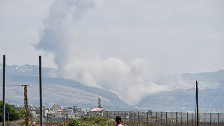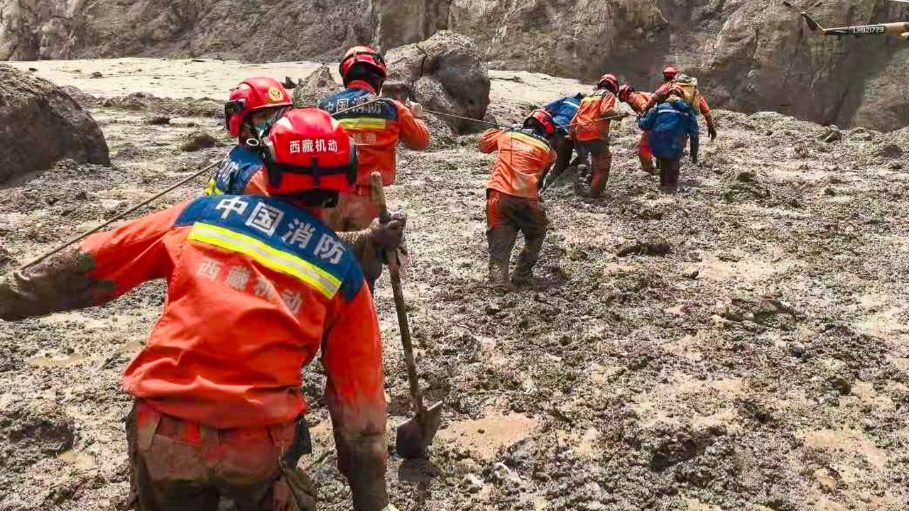
The catastrophic flash floods that tore through the Tibet-Nepal border region exposed structural vulnerabilities in high-altitude disaster forecasting, cross-border data sharing, and infrastructure resilience. When an unstable glacier collapsed in the Himalayas, sending a multi-story wall of water, mud, and debris crashing down the Lhende and Trishuli river valleys, the resulting humanitarian crisis caught regional emergency architectures completely flat-footed. Standard reporting treats such events as unpredictable acts of nature. A rigorous operational deconstruction reveals a predictable sequence of systemic failures spanning environmental warning signs, communication bottlenecks, and infrastructural exposure.
The Mechanics of Cryosphere Failure
The disaster was initiated by a massive glacier and bedrock destabilization, an event increasingly classified by geoscientists as a prominent feature of cryosphere degradation on the Tibetan plateau. Unlike standard meteorological floods driven by monsoon rainfall, glacial lake outburst floods and ice-rock avalanches operate on compressed timeframes with negligible lead-times.
- Trigger Event: High-altitude thermal stress and long-term warming trends compromise the structural integrity of hanging glaciers, causing sudden mechanical failure.
- Kinetic Amplification: The falling ice and debris mix with saturated soils and moraine dam materials, transforming a localized slide into a debris-laden mudflow.
- Topographic Acceleration: Steep Himalayan gradients funnel the slurry through narrow gorges, multiplying velocity and carrying capacity before the torrent hits populated valley floors and infrastructure nodes.
In the case of the Gyirong Port crossing and the Rasuwa district, surveillance data indicates that the debris-laden torrent covered the distance from the collapse zone to international border installations in less than seven minutes. This velocity nullifies traditional early-warning models that rely on downstream river-gauge telemetry, as the travel time of the wave is shorter than the human or automated reaction time required to issue broad evacuations.
Infrastructure Vulnerability and the Economic Cost Function
The human and capital toll of the disaster is a direct function of colocating high-density infrastructure within active hazard corridors. Mountainous border regions face a severe land-use constraint: narrow valleys are the only viable paths for roads, hydropower installations, immigration ports, and trade hubs.
Hydroelectric facilities and cross-border transport projects act as localized traps. Hydropower tunnels and construction camps concentrated along riverbanks concentrate large workforces in high-risk flood zones. When the debris wave hit, hundreds of workers and travelers stationed at border checkpoints, immigration offices, and energy projects were trapped with zero lateral evacuation routes. The destruction of dozens of bridges and miles of arterial roadways instantly severed supply lines, converting an acute flood event into a prolonged isolation crisis where injured survivors could not be extracted and emergency logistics were paralyzed.
Information Asymmetry and Cross-Border Rescue Frictions
Effective disaster response in transboundary river basins requires real-time data sharing, synchronized telemetry, and frictionless bilateral coordination. The 2026 Himalayan disaster exposed deep structural gaps in multi-agency data harmonization.
Discrepancies in missing-person counts and casualty data between Nepali authorities and Chinese regional officials stem from fundamental operational divides:
- Telemetry Disconnection: Upper-basin monitoring data regarding barrier lakes and glacial stability often sits behind bureaucratic and national security silos, preventing downstream authorities from receiving predictive alerts.
- Verification Lags: The transient nature of modern tourism, combined with unmanaged trekking and pilgrimage routes (such as the Kailash Mansarovar paths), makes baseline population accounting impossible. When a valley is wiped out, authorities have no reliable denominator of who was actually in the hazard zone.
- Resource Fragmentation: Heavy machinery, specialized tunnel rescue teams, and engineering assets like Bailey bridges had to be requested across borders retroactively, wasting critical hours during the golden window of survivability.
Strategic Realignment for High-Altitude Basins
Mitigating future transboundary catastrophes requires moving away from reactive emergency management toward predictive infrastructural isolation. Regional governments must implement automated, acoustic- and seismic-based early-warning sensors positioned directly beneath high-risk glacial tongues, bypassing traditional slow-speed hydrological monitoring. Furthermore, commercial and industrial activity in Himalayan river corridors must be subjected to strict zoning laws that mandate high-elevation refuge platforms and mandatory real-time digital check-ins for all trekking and construction personnel operating within active flood paths.